Robin DeMario, U.S . Forest Service
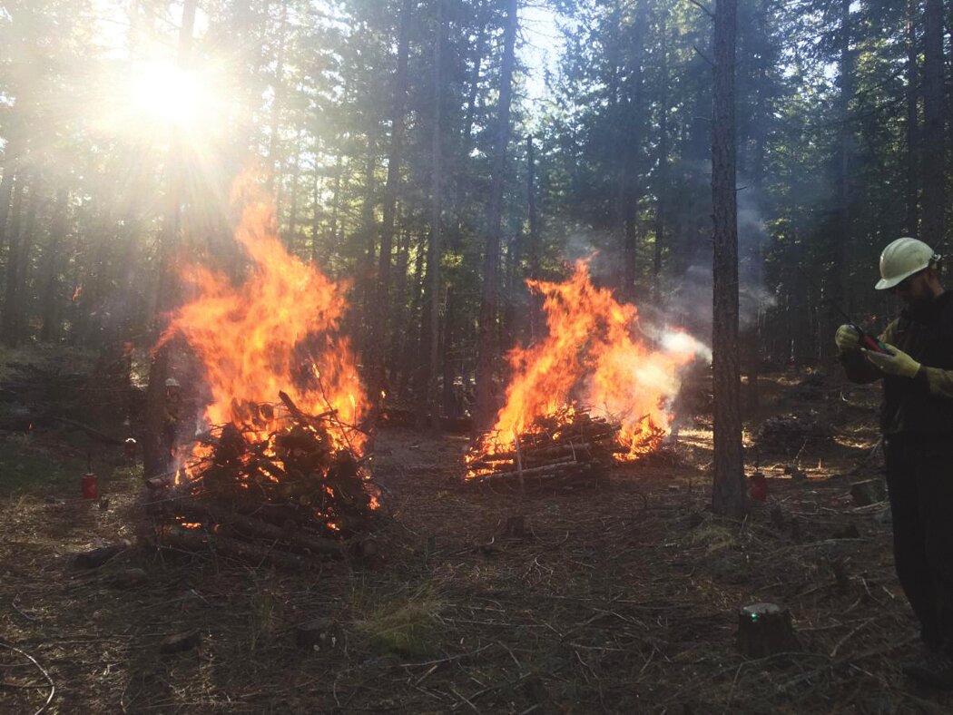
WENATCHEE - This spring, Forest Service crews plan to use prescribed/controlled fire across approximately 6,300 acres in the Okanogan-Wenatchee National Forest. Prescribed fire projects reduce the quantity of burnable fuels in the forest, improve forest health, better protect nearby communities, and help lower the risk of future high-intensity wildfires. Frequent, low-intensity fire is essential for restoring public lands and the communities who depend on them.
“Prescribed fire and thinning activities could start as early as this week, depending upon local weather conditions, and extend through late May or early June,” said Deputy Fire Staff Officer Matt Castle. “As the snow recedes, we will gain access to our spring prescribed fire units. Although we have thousands of acres planned for treatment this spring, it all depends on fuel and weather conditions whether we will be able to complete all that work or not.”
Burning conditions include correct temperature, wind, fuel moisture, and ventilation for smoke. When these criteria are met, firefighters implement, monitor, and patrol each burn to ensure it meets forest health and public safety goals including air quality. All Okanogan-Wenatchee N.F. prescribed burns are weather dependent and fire specialists will cease burning as soon as possible if objectives are not being met or weather conditions are unfavorable. Their primary concerns include favorable winds that can minimize smoke impacts to public health and the risk of fire escape.
People can expect to see and smell some smoke during burning operations. Even though smoke from prescribed fire is usually light and doesn’t last long, it is important that smoke-sensitive individuals plan ahead and be prepared. For more information on smoke and public health, please visit wasmoke.blogspot.com or airnow.gov/fires.
For real-time prescribed fire maps and updates check out the forest website, social media sites, or listen to the day of burn recorded voicemail message:
Managed burning operations, consisting of mainly underburning projects with some hand pile units, are planned on national forest lands in the following counties.
Okanogan County: (1,074 underburn acres and approximately 500 acres of piles in the Methow Valley Ranger District)
-
Lost Driveway unit 1 – 70 acres, located 8 miles northwest of Mazama, WA
-
Lost Driveway unit 3 – 40 acres, two and a half miles northwest of Mazama, WA
-
Lost Driveway unit 10 – 50 acres, less than a mile west of Mazama, WA
-
Lost Driveway unit 15 – 39 acres next to Highway 20 about a mile northwest of Mazama, WA
-
Goat Unit 2 – 870 acres located two and a half miles southeast of Mazama, WA
-
Crews also plan to ignite approximately 500 acres of debris/hand constructed piles across the Methow Valley Ranger District this spring if conditions allow.
Chelan: County: (total of 2,468 acres)
-
Upper Peshastin project area, 350 acres near the top of Blewett Pass, approximately 13 miles southwest of Cashmere in early May
-
Moe unit 53 – 53 acres 8 miles west-northwest of Entiat, WA
-
FJ unit – 1,412 acres, 12 miles northwest of Entiat, WA
-
Crum Canyon unit 23 – up to 100 acres 6 miles northwest of Entiat, WA
-
Falls Coyote units – a total of 553 acres in two units located 19 and 21 miles northwest of Chelan, WA
Additional prescribed fires and pile burns may be conducted if favorable conditions allow.


Comments
No comments on this item Please log in to comment by clicking here