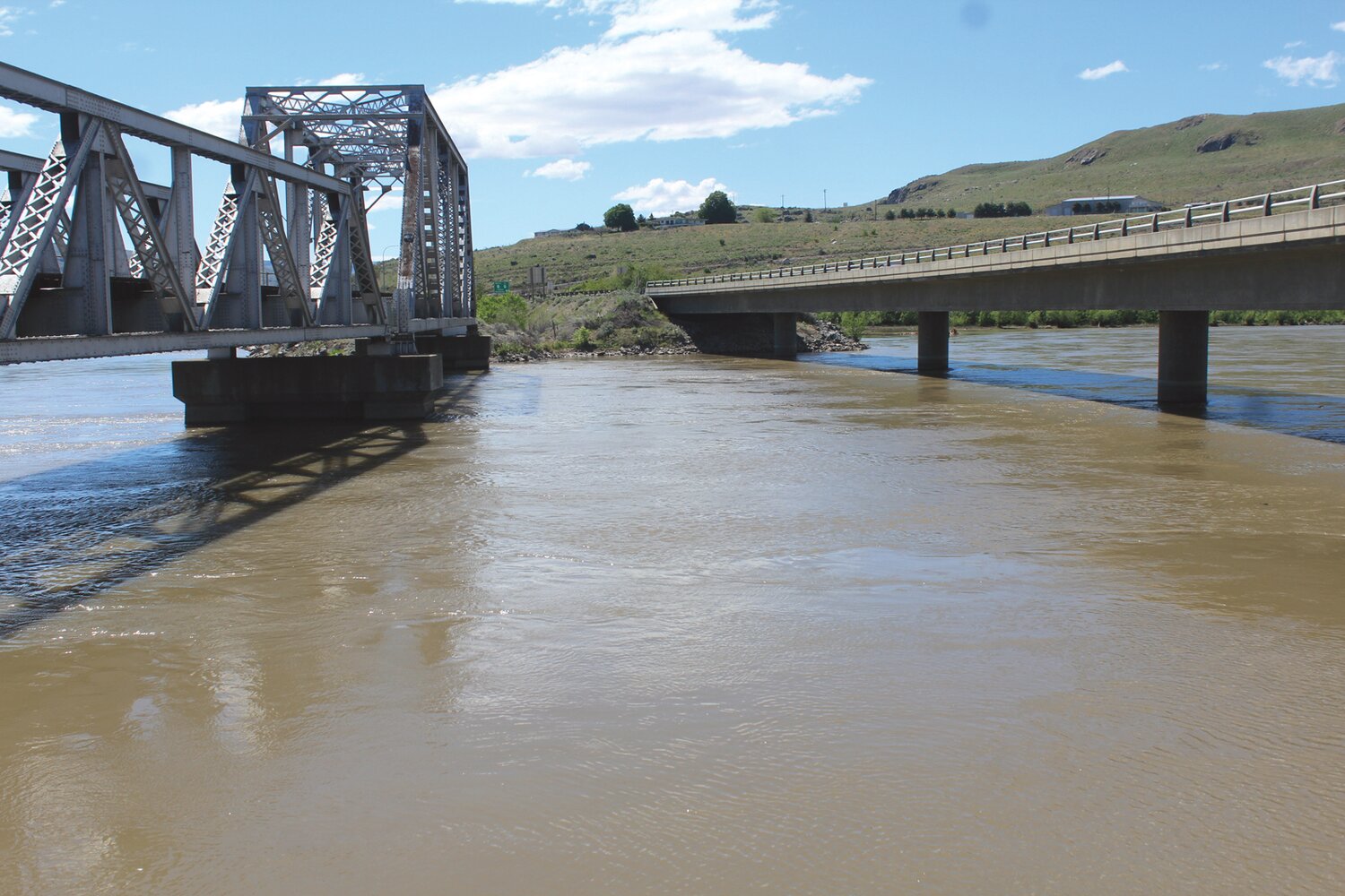
Both Mayor Carlene Anders and former mayor and current council member George Brady concur that FEMA failed to factor in the stabilizing presence of Wells Dam. Brady noted that during the 1972 flood Pateros was not affected and records should be available to confirm that.
In May 2018, the county experienced the worst flooding since 1972 and while water levels were high at the confluence of the Okanogan and Methow rivers, the town once again was not affected.
While Wilson continues to monitor FEMA’s study of flood potential in Pateros the debate serves as a backdrop to a recent report issued by QuoteWizard, a Seattle-based company founded in 2006 and described as an online insurance marketplace. The company studied flood zone potentials in all 50 states using comparative data from, among others, FEMA and the First Street Foundation, a New York based 501©3 nonprofit tech group devoted to defining the nation’s flood risk.
First Street claims flooding to be the nation’s most expensive natural disaster “costing over $1 trillion in inflation adjusted dollars since 1980,” according to its website firststreet.org.
First Street claims that the FEMA maps were not created to define flood risk for individual properties.
“This leaves millions of households and property owners unaware of their true risk,” said First Street. “There has long been an urgent need for accurate, property-level, publicly available flood risk information in the United States.”
QuoteWizard compared FEMA map data, some more than 15 years old, with First Street’s more recent research which factors in sea level rise, stream floods, and similar data. While recent events reveal Pateros to be relatively stable other parts of the state have seen a 198 percent increase in at risk properties over earlier estimates.
Wilson is not surprised by the findings.
“I think what we have seen trending across insurance industry is larger catastrophic events than historically typical,” said Wilson. “That includes fire, flood, and hurricane. So, everyone, including FEMA, who manages flood insurance, is trying to cover these skyrocketing costs.”
Wilson said the new assessments that are happening by FEMA at Pateros are concerning.
“However, this is actually the first true assessment for the city,” said Wilson. “As a city, I want citizens to be aware of flooding risks and be prepared and even insured if necessary.”
On the other hand, Wilson said he wants FEMA to take all mitigating factors into consideration as part of their assessment.
“I am still concerned that they are not considering all of the relevant facts,” said Wilson. “It would be unfair to homeowners and property values if the flood risk is raised above the actual risk level. It is extremely burdensome to homeowners who are required to get flood insurance, and we do not want that to happen if it is not necessary.”
According to QuoteWizard figures the state of Washington ranks eighth among all states with the highest increase in flood zone properties behind 1. Utah, 2. Wyoming, 3. Montana, 4. Idaho, 5. Tennessee, 6. Vermont, and 7. Colorado.
FEMA lists 121,528 properties at risk in this state while updated figures peg that number at 362,612, an increase of 241,084 properties or nearly 200 percent. In terms of annual flood insurance policy costs Washington residents pay less that the average of $699 calculated nationwide. Florida residents pay the least at $550 per year while Connecticut is the highest at $1,395. Washington’s average is $901.
Special Flood Hazard Areas (SFHA) are denoted by the letters A or V on the FEMA Flood Map Service Center website. Though many of the maps are decades old – Bridgeport 1985, Brewster 1999 – property owners can visit msc.fema.gov/portal/home and plug in an address, place, or coordinates to see that latest information regarding their location. In the case of Pateros, the FEMA site notes that the agency “has not completed a study to determine flood hazard for the selected location; therefore, a flood map has not been published at this time.”
Wilson said he does have some good news.
“I have been working with Douglas PUD, and have been able to get FEMA additional information,” said Wilson. “I have been told that the new draft reduces the number of homes affected. FEMA is still working through the process with us, and we can expect a public workshop with FEMA in the Summer of 2022.”


Comments
No comments on this item Please log in to comment by clicking here